Sponsor: HoudahGeo with Discount Code
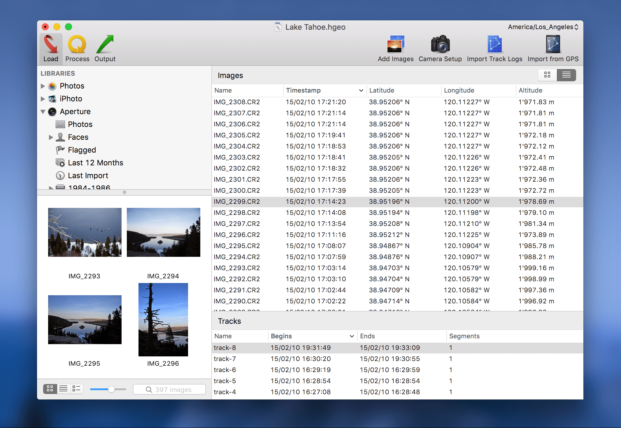
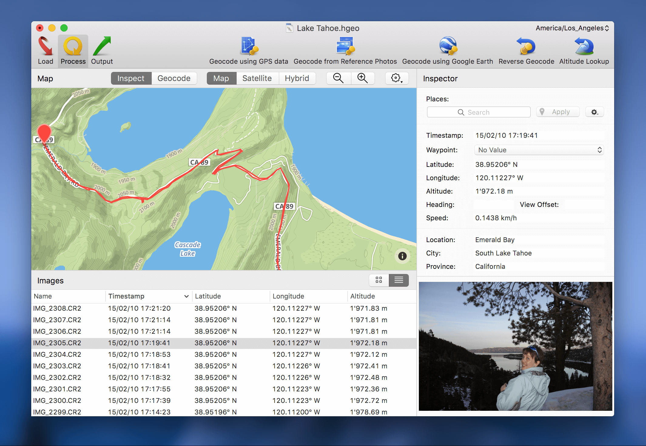
This week MacSparky is sponsored by HoudahGeo. HoudahGeo is a Mac app that makes attaching locations to your photos ridiculously simple. The case for adding geo-location data to your photos is easy. Looking at your photos on a map gives you all sorts of options for sorting, viewing, and sharing your pictures. Want to see all the pictures from that beach trip? With HoudahGeo it's a snap. Because of the way our human brains work, years in the future we may not remember when we took a certain trip but we will remember where we went and with HoudahGeo on your side that's all you need.
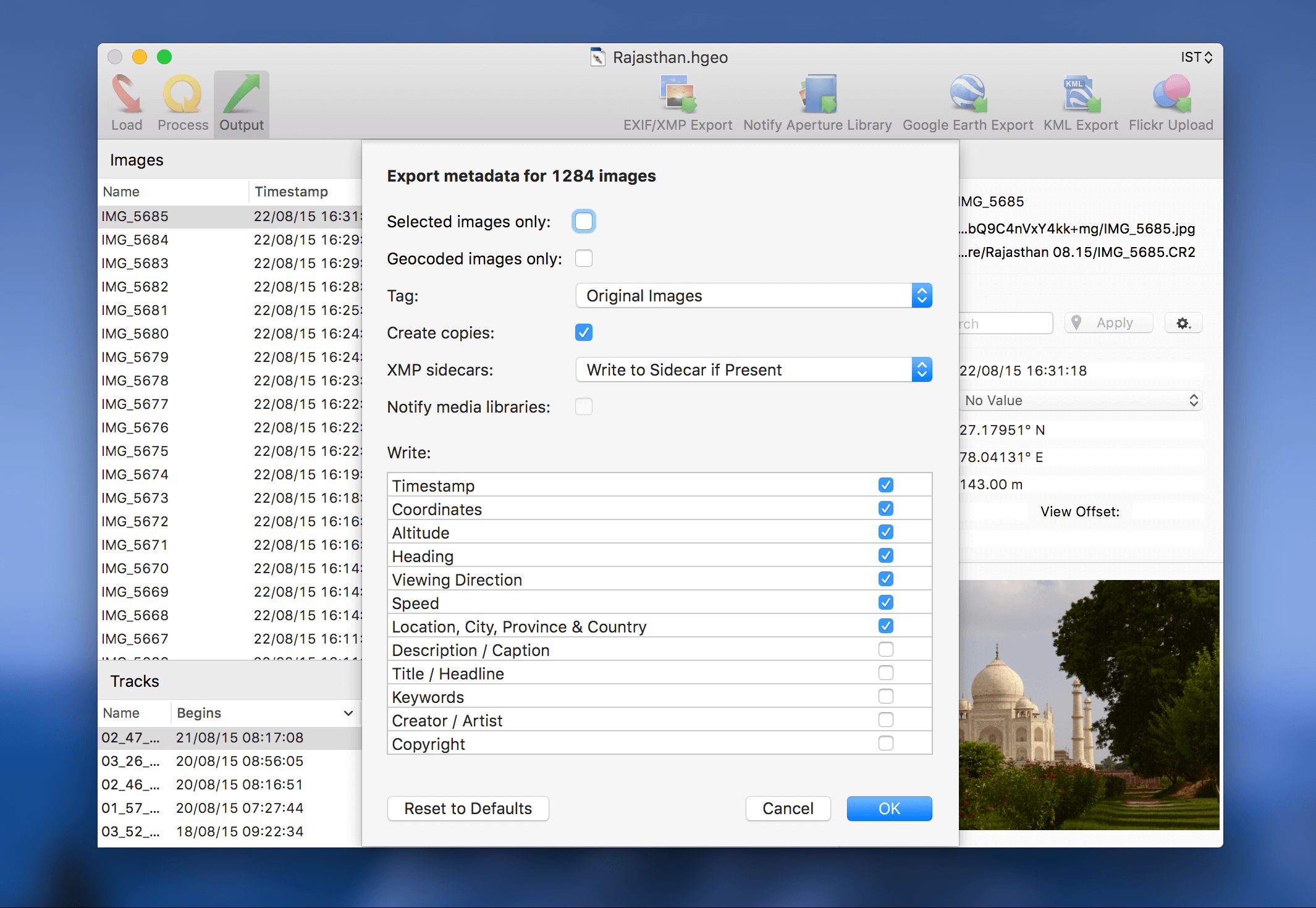
The trouble is that a lot of cameras have no ability to geocode your photos for you. That's where HoudahGeo comes in. HoudahGeo actually geocodes photos. It writes industry standard EXIF/XMP tags to the original image files, which makes the geocode information permanent. (Not all geocode apps do that.)
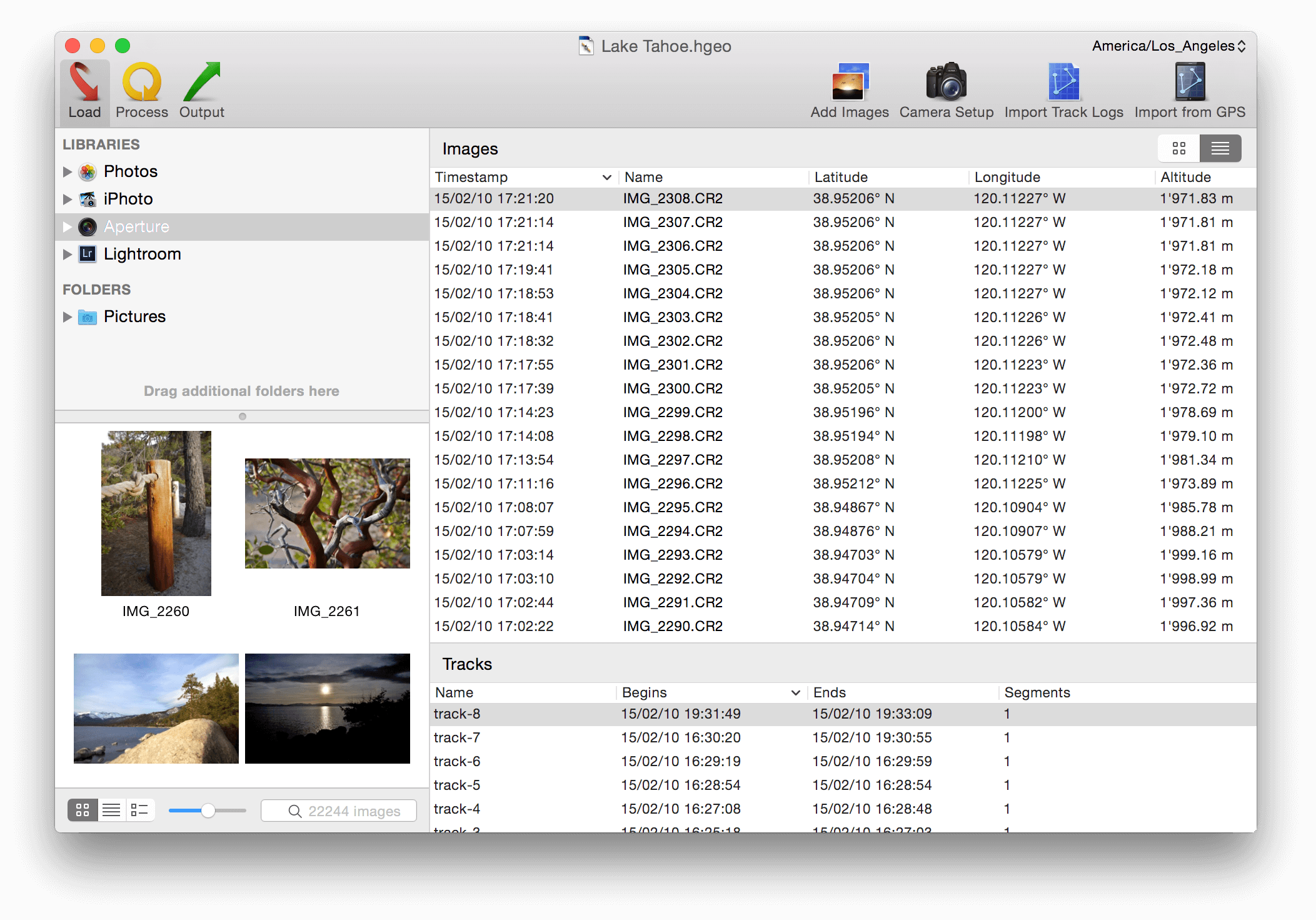
HoudahGeo also works with multiple geocode workflows. You can automatically geocode photos form a GPS track log. You can also manually geocode photos using the map in HoudahGeo. It's easier than you think. You can even drag-and-drop geocoding data. HoudahGeo also allows for viewing (and showing) photos in Google Earth.
If your camera doesn't save geo-location data to your photos, you can solve that problem today with HoudahGeo. For a limited time, get 20% off with discount code “MACSPARKY”.
